 Public Domain
KIIK-PNM-0001
Public Domain
 Public Domain
 Public Domain
 Public Domain
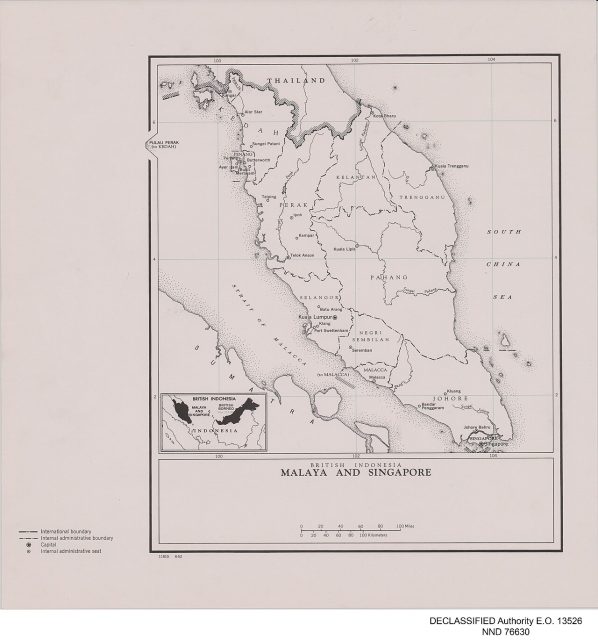
Map / Cartography showing maps in Kota Kinabalu circa 1900. National heritage collection material (scale demo record).
| Accession No. | KIIK-NAS-G001051 |
|---|---|
| Creator / Source | Kristen Feilberg |
| Date | 1900 |
| Place | Kota Kinabalu, Selangor |
| Medium | Map / Cartography |
| Institution | Arkib Negeri Kelantan |
| Rights Status | Reference Only |
| Statistics | 239 views · 38 licences |